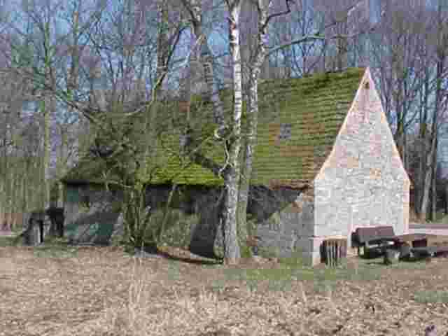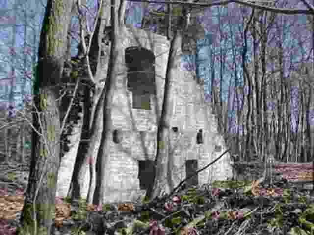
If For No Other Reason You Will Want To Stop At Creglingen To See The World Famous Altar Of Mary. Located In The Medieval Herrgottskirche (Lord's Church), The Gigantic Wood Altar Is The Greatest Creation Of Master Wood Craver Tilmann Riemenschneider (1460-1531). Other Reasons To Visit The Creglingen Area Include The Large Stretches Of Forest And Thinly Populated Pastoral Countryside, Undiscovered Medieval Chapels, Ancient Celtic Walls And Castle Ruins. Great Hiking And Bike Trails Connect The Sights And Make The Creglingen Region Perfect For Getting Close To History And Nature At The Same Time. The Well Marked Main-Donau Wanderweg (Hiking Trail) Runs Through The Center Of The Region. The Quiet Fields, Empty roads, Tiny Half-Timbered Villages, And Low Prices Gives The Visitor The Feeling That Time Has Stood Still. The Creglingen Region Makes For A Good Day Trip From Nearby Rothenburg Or For A Few Days Of Hiking And Sightseeing At A Relaxed Pace. You Might Consider Staying In A Vacation Apartment On One Of The Working Farms.

|
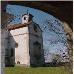
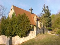
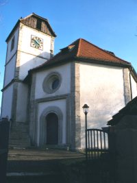
St. Kunigund ChapelThe Chapel Is Located Near The Village Of Burgerroth. An
Impressive Garden Wall Protects The Restored Chapel, Medieval Cemetery, And A
1000 Year Old Linden Tree. Note The Romanesque Stone Heads On the Outer Walls
Of The Church. Inside, Note Picture Of Knight On Charger (Circa 1230) And The
Late Baroque Altar (1760). The 2.5 Km Walk From The Chapel To Castle Ruin
Reichelsburg Is Lovely. |
|
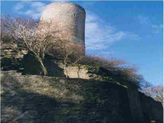
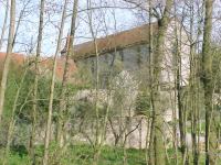
Ruin ReichelsbergThe Castle Ruins Are Located At The Edge Of A Woods Near The
Well Preserved, Medieval Town Of Aub. The Original Cellars, A Restored Tower,
And An Unusually Fine Moat Remain. The Castle Provides The Backdrop For Several
Local Festivals And Plays. |
|
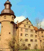
Fire Brigade MuseumBuilt Around 1520, Today The So-Called Water Castle In The
Village Of Waldmannshofen Houses An Excellent Collection Of Fire Fighting
Equipment And Uniforms. You Can Track The Development Of Fire Engines Over
Three Centuries, Including Hand Pumps And The Bucket Brigade. Open Daily:
10:00-12:00 And 14:00-17:00. |
|
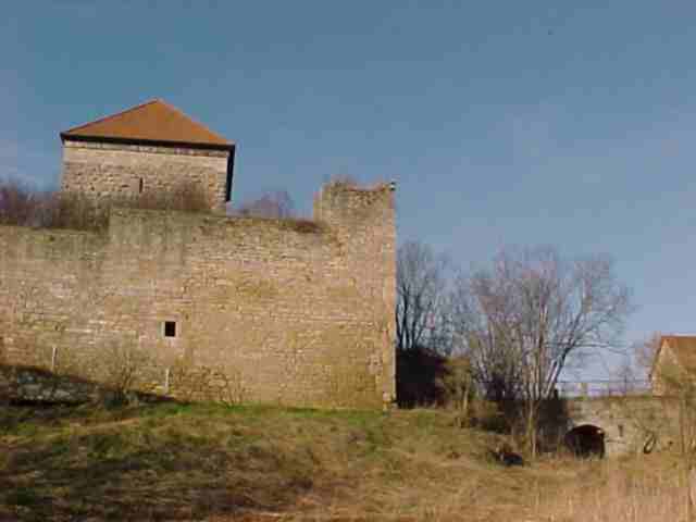
Castle Ruin BrauneckLooking Down Over The Village Of Niedersteinach, Brauneck
Caslte Ruin (Circa 990) Is A Favorite Goal And Resting Point For Hikers. The
Grafs Of Hohenlohe Occupied The Castle From About 1000-1450. The Castle Was
Plundered, Burned, And Taken Over By Peasants In The Rebellion Of 1525. Today,
Most Of Castle Is Occupied By A Private Farming Business. You Can Walk Through
The Main Gateway To Get A Feel Of The Castle. |
|
Cloister FrauentalGraf Konrad Of Hohenlohe- Brauneck Built The Convent In 1232 As
Thanks For His Safe Return From The Crusades. Severely Damaged In The Peasants
Rebellion Of 1525, The Cloister's Last Three Nuns Died There In 1547. Be
Sure To See The Pillar Supported Arches Under The Church (Circa 1232) And The
Mummies (Circa 1742) Discovered During A Recent Restoration. Several Good
Hiking Loops Start At The Cloister: Open Daily (Except Monday): 10:00-12:00 And
14:00-17:00 1 March - 31 October. The Key Is With Family Hesch, House Number 27
(07933-7128). Entrance: 2 DM |
|
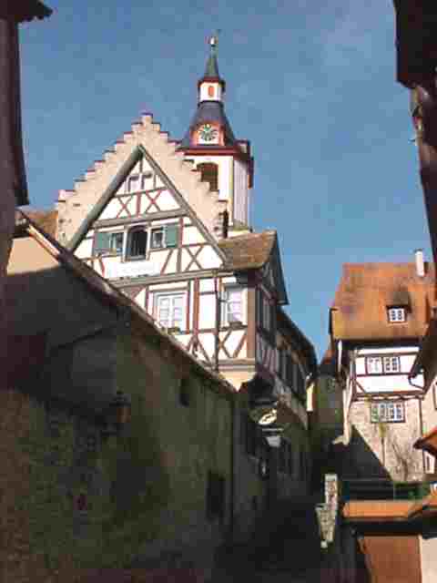
Town Of CreglingenFounded By The Celts Circa 200 B.C., Modern Creglingen Provides
The Administrative Functions For The Region's Villages. Three Towers And
Part Of The Old Town Wall Still Remain From The Middle Ages (Click On The Link
For A Tour). The Tourist Office Stocks Local Maps For Hiking, Biking, And For
Driving The Back Roads. The Best Is Freizeitkarte Rad-und-Wanderdreick
Creglingen-Rothenburg-Seitentäler 1:33000. Creglingen And Tauber Valley
Tourist Information, Romantic Road 14. Phone And Fax: 07933-631. |
|
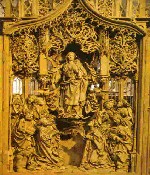
The Herrgottskirche's Altar Of MaryThe World Famous Altar of Mary Is Found Inside The
Medieval Herrgottskirche (Lord's Church Circa 1384) About 1 Km South Of The Town Of Creglingen, On The Road To The Village Of
Münster. The Gigantic Altar Was Carved By Tilmann Riemenschneider Between 1505 And 1510. It Measures 9.2 Meters High,
3.7 Meters Wide, And .5 Meters Thick. Click On The Link For The Story Of The Alter And Its Creator Tilmann Riemenschneider. In
Addition To The Famous Alter, The Church Has Other Attractions As Well Including Paintings By Jakob Mühlholtzer From Nearby Bad Windsheim (1446),
Crucifix, And Colored Glass Widows From The Fourteenth Century To Name A Few. Open Daily April-October 09:15-17:30. November-March Daily
(Except Monday)10:00-12:00 And 13:00-16:00. Entrance: 1.50 EUR, In Groups 1 EUR |
|
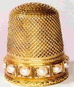
Fingerhut (Thimble) MuseumAlmost Directly Across The Road From The Herrgottskirche (About
1 Km South Of The Town Of Creglingen, On The Road To The Village Of
Münster), The Fingerhut Museum Provides The History Of The Thimble And
Thimble Craft With Nearly 3000 Examples From All Over The World, From Roman To
Present Times. The Small Museum Offers The Best Collection Of Thimbles In Europe And
Probably The World. Explanations Are In English. Click On The Museum Homepage Link For The History
Of The Thimble And More Examples. Open Daily April-October
10:00-12:00 and 14:00-17:00, November-March 13:00-16:00. To make special arrangements call Brigitte Greif, Phone: 07933-370, Fax:
07933-443. Entrance: 1.50 EUR. Closed Mondays, Christmas, New Years and from 7 Jan . - 28 Feb. |
|
Ulrich's ChapelThe Small But Splendid Ulrich Chapel (Circa 1220) Located In
The Picturesque Village Of Standorf Features A Unique Octagonal Design. Graf
Konrad From Hohenlohe-Brauneck Was Impressed By The Octagonal Dome Of The Rock
In Jerusalem. He Built The Ulrich Chapel As Thanks For His Healthy Return From
The Crusades. The Chapel Was Used To Store What Was Later To Be Called The
Shroud Of Turin. In The Middle Ages People Made Pilgrimages To The Chapel
Because The Water From The Spring Under The Chapel Was Thought To Cure Eye
Problems. Note; The Large Old Looking, Oak Beam Has Been Supporting The Ceiling
Since 1220. The Key Is With Herr Kurt Wagner Who Lives A Short Walk From The
Church, Down In The Village (House Number 6, Tel: 07933-20076). Entrance: Free |
|
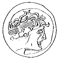
Celtic WallCeltic Coins Found Near The Village Of Fensterlohr Date From
Before The Time Of Christ (Circa 100-200 B.C.). About 800 Meters Of The
Original 5 Km Long, 8 Meter High, 6-8 Meter Thick Celtic Wall Surrounding The
Nearby Village Of Burgstall Remains. A Few Meters Have Been Restored. The Walk
Along The Earth Covered Wall Is Beautiful. It Runs Through A Mixed Wood With
Numerous Opportunities To Sample Tasty Wild Plums And Apples. Continuing Past
The Restored Segment, You Will Arrive At A Break In The Wall, The Location Of
The Former Gate. Pause And Look At The Drawings Of The Gate Mounted On The
Official Looking Posts (The Explanations Are In German). |
|
Flachs (Flax) MuseumLocated Between The Celtic Wall And The Village Of Burgstall,
The Flachs Museum Shows How Flax Was Turned Into Linen. Until The Twentieth
Century, Every Village Had A Community Flax Hut Where The Fiber Stems Of The
Pretty Blue Flowered Flax Plants Where Processed And Spun Into Linen Thread
(Plant Seeds Where Used To Make Linseed Oil). The Last Remaining Flax Hut In
The Region, The Museum Illustrates Each Stage Of The Process With The Actual
Tools And With Pictures. Open Daily. The Key Is With Herr Friedlein, House
Number 10. Phone 09865-1257 |
|
Ruin SeldeneckJust Below The Village Of Seldeneck There Is A Short Path
Leading To The Castle Ruins. Built In The Twelfth Century And Destroyed In
1408, Little Remains Of This Castle. However, The Visitor Has A Great View Of
The Tauber River Valley Below And Of The Town Of Rothenburg Above. It's A
Favorite Resting Point For Hikers Along The Main-Donau Hiking Trail. |
Explore Banzai Casino in Pakistan: A Comprehensive Review and Guide for Players
Looking for an thrilling way to enjoy online gaming in Pakistan? Banzai Casino https://banzai-casino-pk.com/ might be exactly what you need. With its impressive selection of games, attractive bonuses, and safe payment options, it’s quickly becoming a top choice for players. If you’re new to online gaming or a seasoned player, let’s explore what makes Banzai Casino unique in the dynamic world of online gambling.
Why Choose Banzai Casino?
Extensive Variety of Games
Banzai Casino features a impressive variety of games suiting the preferences of all kinds of players:
Over 1,000 slot games with diverse themes, spanning across classic fruit machines to modern video slots.Fan-favorite table games like 21, roulette, and poker available around the clock.Live casino games with real dealers for an realistic casino experience.Rewarding Bonuses and Promotions
One of the highlights of Banzai Casino is its rewarding bonuses and promotions:
Welcome bonus: as much as 100% match on your first deposit, plus free spins.Ongoing promotions: rebates, weekly tournaments, and exclusive rewards.VIP program: accumulate loyalty points and gain access to special perks like enhanced cashout options and personal account managers.Flexible Payment Options
Banzai Casino ensures hassle-free transactions for players in Pakistan by offering a wide range of payment methods:
Bank transfers and credit/debit cards.Local payment gateways, such as Easypaisa and JazzCash.Cryptocurrencies for fast, private transactions.Getting Started at Banzai Casino
Account Setup
Getting started is simple and straightforward. Here’s a step-by-step guide:
Visit the main Banzai Casino website.Select the "Sign Up" button.Complete the registration form with your information: name, email, and phone number.Create a secure password and confirm it.Verify your account through the email or SMS you receive.Adding Money
Once registered, you can easily deposit funds into your account:
Access the "Cashier" section on the website.Choose your chosen payment method.Enter the specified amount and confirm the transaction.Exploring Game Options
Now, it’s time to explore the exciting range of games and begin your adventure. If your choice is slots, table games, or live dealer games, there’s something for all players.
Tips for Successful Play
Set a limit. Decide on a fixed amount to spend and stick to it.Try demo games first. This helps you to familiarize yourself with the game mechanics prior to placing real money.Take advantage of bonuses. Use welcome bonuses and promotions to maximize your potential.Know when to stop. Don’t pursue lost bets; take breaks if needed and come back with a clear mind.How We Protect You
Banzai Casino prioritizes player security with state-of-the-art encryption technologies to safeguard personal and financial data. It runs under a valid international gaming license, ensuring transparency for all users.
Banzai Casino in Pakistan offers fun, excitement, and rewarding opportunities for players. With a simple registration process, attractive bonuses, and a vast array of games, it’s an excellent platform for both casual and experienced players. Eager to try the thrill? Join Banzai Casino today and see why it’s a favorite in Pakistan.
